Your partner
in advanced
mineral exploration
Geological, geophysical, and borehole logging services
About us
Recognized expertise in geosciences
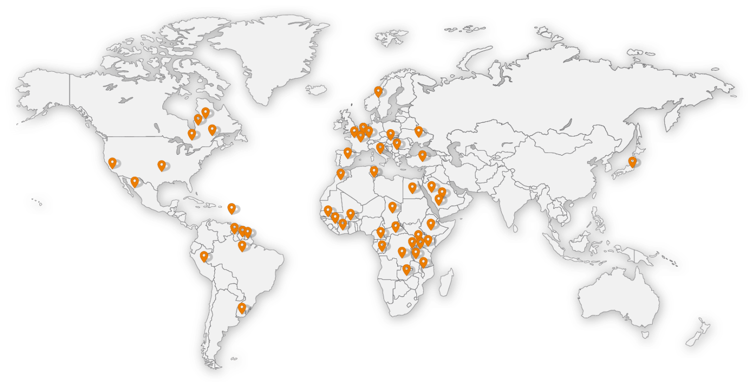
Founded in 2012, GexplOre is a cooperative company specializing in geosciences, working on large-scale projects across Europe, Africa and the Americas. Our mission is to provide innovative and tailored solutions to the geological and geophysical challenges faced by our clients, combining technical expertise with a commitment to sustainability.
With over 10 years of experience, we have built a strong reputation through the successful execution of complex and demanding projects.
Our team, composed of geologists and geophysicists certified as EurGeol, ensures reliable analyses that meet international standards.
Our services
Comprehensive exploration management, from data to report
At GexplOre, we support our clients throughout the entire exploration cycle — from field data acquisition to the preparation of reports compliant with international standards (NI 43-101, JORC, etc.). Our expertise enables us to operate in complex environments, ensuring the efficient, seamless management of exploration campaigns.
We cover all key stages of the process:
We guarantee a rigorous, innovative, and tailored approach to meet the specific requirements of each project.
Field sampling
Geologist taking samples from a rock outcrop to analyze the mineralogical composition of the geological formations.
Analysis of cores in a coreshed
Geologists analyzing core samples in a coreshed, observing lithology, mineralization and geological structures for mining exploration.
Electromagnetic geophysical acquisition on a lake
Electromagnetic geophysical acquisition on a lake with a towed device, allowing exploration of the underwater subsoil.
Acquisition of geophysical data in tropical forest
Geophysicist performing field data acquisition in a rainforest using electrical geophysics acquisition equipment.
Our areas of expertise
Understanding and characterizing the subsurface
We conduct detailed geological studies to map and analyze underground formations. Our services include:
- Geological field mapping
- Geochemical, structural studies and petrographic analysis
- Drilling monitoring
- Geological modeling
Field sample analysis
Geologists carrying out a field analysis as part of exploration.
Field sample analysis
Two field geologists performing a detailed analysis of a rock sample at an exploration site, assessing its mineralogical composition.
Core analysis in coreshed
Geologists examining a drill core in a field coreshed, analyzing its structure to interpret geological data.
XRF analysis of drill cores
Geologist performing geochemical analysis on drill cores using a portable XRF spectrometer to identify the elemental composition of the samples.
Electrical geophysical acquisition with 3D sensor
3D electrical geophysical acquisition with resistivity and induced polarization sensors, allowing the study of underground structures and the generation of prospecting targets.
Ground-penetrating radar
Radar acquisition in the field in geophysical exploration, allowing the identification of voids, buried objects or variations in material properties.
Towed electromagnetic acquisition
Towed electromagnetic geophysical acquisition with a quad, allowing rapid exploration of subsoil properties.
Inverted resistivity geophysical model
Inverted resistivity geophysical model representing subsurface variations for mining and geotechnical exploration.
Advanced subsurface imaging
Our geophysical methods enable deep exploration without destructive drilling, using advanced technologies:
- Magnetism, electromagnetism and electrical methods (2D & 3D)
- High resolution data acquisition and processing
- Detection of subsurface structures and resource characterization
Precise drilling data analysis
Borehole logging provides real-time borehole measurements, improving the understanding of the formations encountered:
- Electrical, acoustic and advanced logging methods
- Drilling quality control and optimization of exploration campaigns
- Stratigraphic correlation and structural study
Installation for drilling logging
Installation of borehole logging equipment to measure geophysical properties of underground formations.
Drilling logging and analysis in laboratory truck
Drilling logging at a mining exploration site, with a truck fitted out for immediate analysis of geophysical data
Installation for drilling logging
Installation of borehole logging equipment to measure geophysical properties of underground formations.
Contact us
Let's discuss your project
Looking for expertise in mineral exploration and geosciences?
Our team is here to answer your questions and support you in your projects.
Contact us now using our contact form.
